


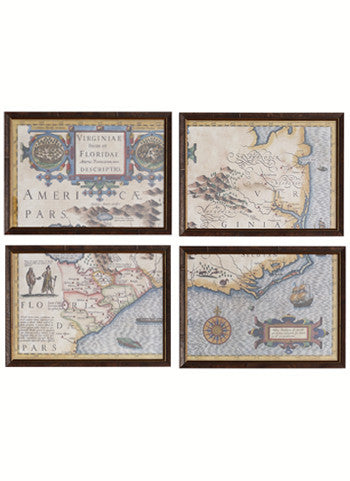
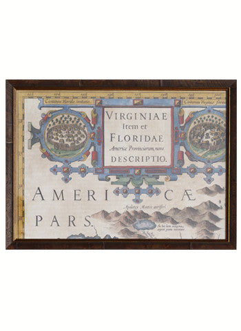
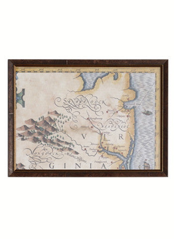
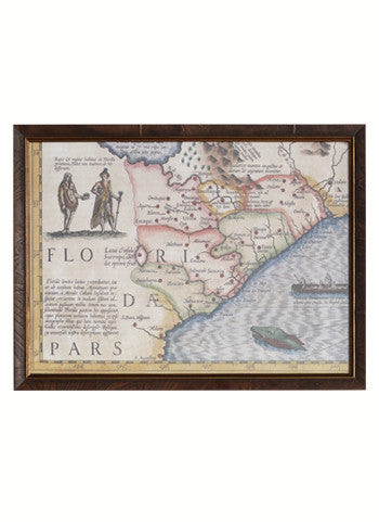
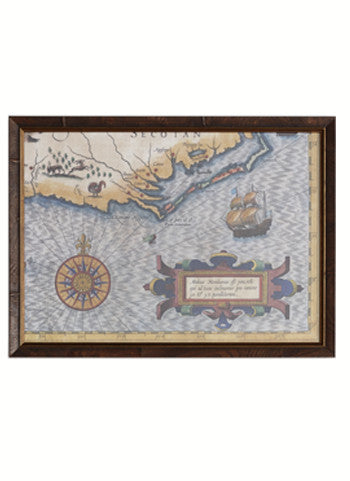
Reproduction in four sections of a 1640 Map of Virginiae Partis australis, et Floridae partis orientalis (“Virginia parts south and Florida parts east). At the time, Virginia included all the British land along the east coast, the map also covers the area where North Carolina now exists.
The map shows the Virginia coast and Chesapeake Bay in detail, the Outer Banks had not been charted at this date. The Appalachian region also includes a large lake that did not exist, but appeared in numerous early American maps